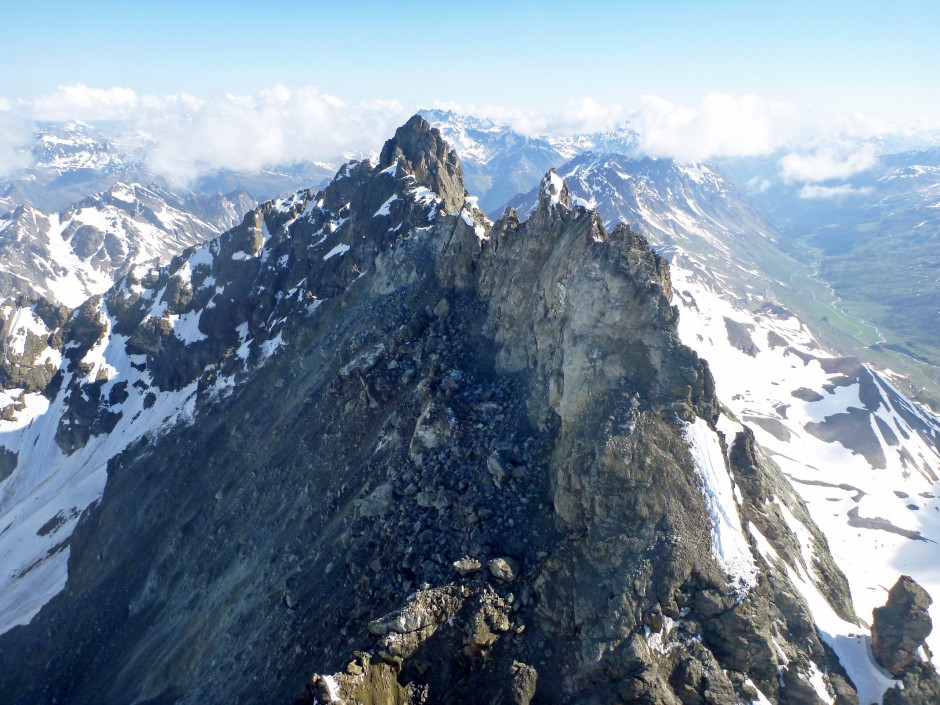
This is how the mountain Flüchthorn looks like after the rock fall.
Image: dpa
Geologists measured the extent of the landslide in Tyrol on Sunday. According to this, about a million cubic meters of rock have come loose from the southern summit of the Flüchthorn. The new southern summit is now 19 meters lower.
Nfter the collapse of an Alpine peak in Tyrol, geologists measured the massive extent of the landslide. As the Austrian state announced on Friday, one million cubic meters of rock fell off the southern summit of the Flughorn near Galtür on Sunday. That corresponds to about 120,000 truckloads, it said. “The new southern summit of the Flughorn is now 19 meters lower,” said Tyrol’s state geologist Thomas Figl.
According to Figl, the landslide was triggered in the course of global warming by the melting permafrost, which holds the rock inside like glue. According to experts, the risk of landslides is increasing due to climate change, but the problem with the thawing permafrost primarily affects locations above 2500 meters.
No one was injured during the natural phenomenon on the southern summit, which was 3399 meters high and is now 3380 meters high. After the landslide, hiking trails were closed in the area near the Swiss border. Based on the new measurement data, it is now being checked whether and how these routes can be relocated in the future.


